Cellar Fire Wildfire
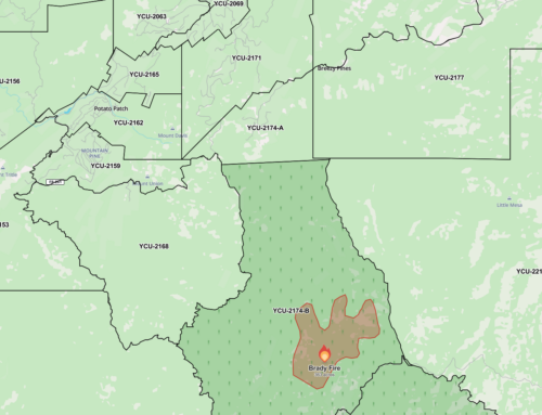
Location: 16 miles south of Prescott, AZ on the Bradshaw Ranger District (T10N, R2W, S5)
Start Date: July 14th
Size: Approximately 7,512 acres
Percent Contained: 58%
Cause: Lightning
Vegetation: Grass, Brush, and Chaparral
Resources: 3 EnginesThis will be the last news release for the Cellar fire unless there is a significant change in fire activity.
The Prescott National Forest assumed command of the Cellar Fire this morning at 6 AM. Southwest Area Type 1 Incident Management Team #1 (Alan Sinclair, Incident Commander) did a fantastic job managing the fire and produced a solid plan for local resources continuing to fight the fire. Reggie Antonio is the Type 4 Incident Commander for the Cellar Fire.
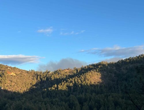
Fire activity has been minimal with no growth over the last few days. Higher relative humidity help to assist firefighter’s efforts on the ground. Firefighters will continue to closely monitor the fire on the ground and utilize aerial resources as needed.
The Cellar Fire Public Safety Closure Area is still in effect. Prescott National Forest released a new Forest Order on July 24, 2019 at 6 AM reducing the Cellar Fire Public Safety closure area. Detailed information and a map are available on Inciweb. Post fire flooding hazards are within the closure area. Particular flooding concerns exist at the lower end of Blind Indian Creek near the forest boundary. Unstable soils and falling rock potential exist within the fire scarred area. The roads on the boundary of the closure remain open to the public.
The public can obtain additional information via the following:
Cellar Fire Information (8:00 AM – 5:00 PM) (928) 925-1111
Prescott NF Forest Website: http://www.fs.usda.gov/prescott/
Twitter: https://twitter.com/prescottnf
Facebook: https://www.facebook.com/PrescottNF/
InciWeb: https://inciweb.nwcg.gov/incident/6443/
Interactive Cellar Fire Map is available at https://tinyurl.com/CellarFireMapRead the entire article at: https://inciweb.nwcg.gov/incident/article/6443/49876/


Leave A Comment