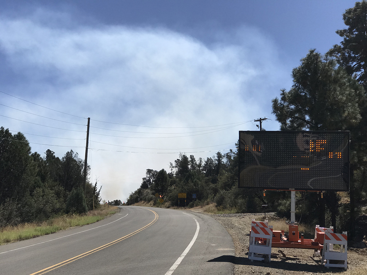
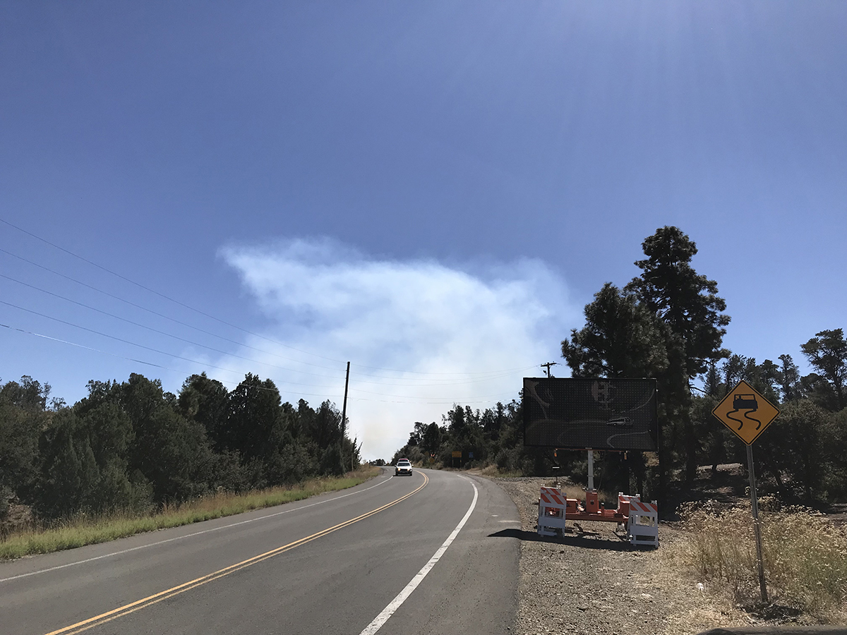
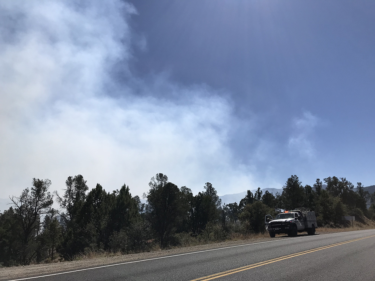
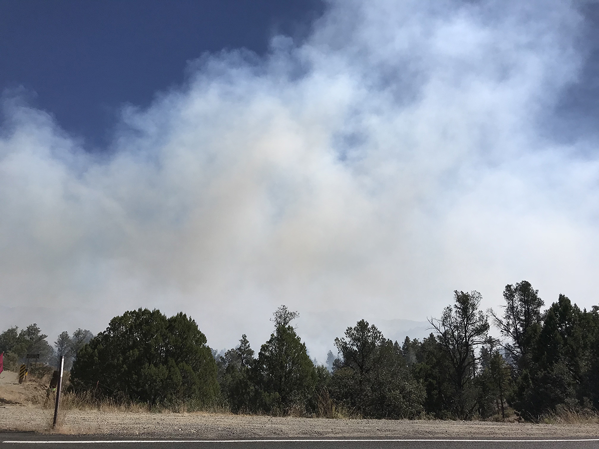
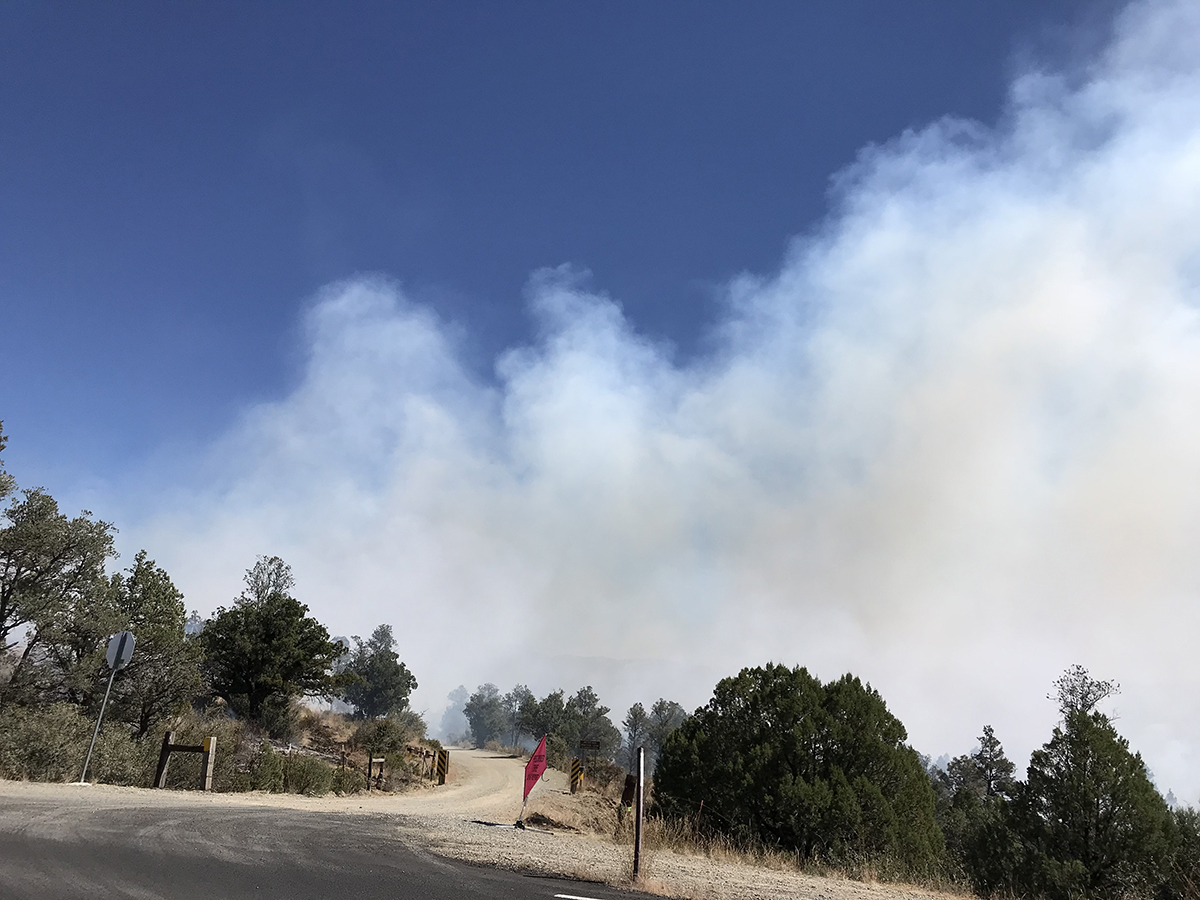
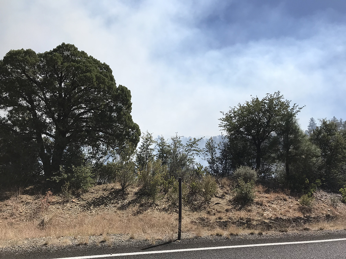
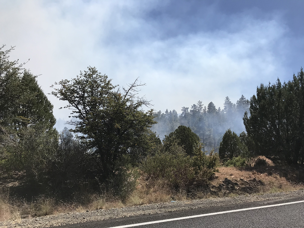
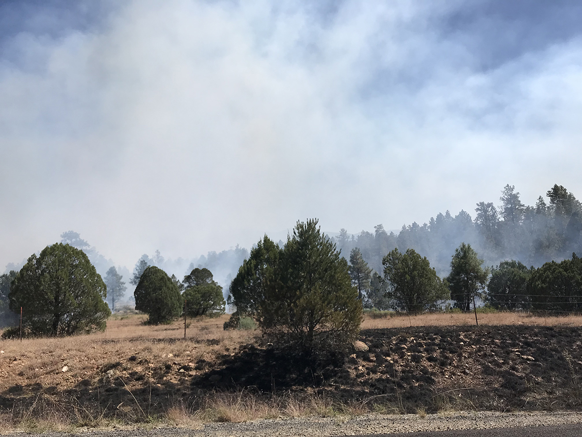
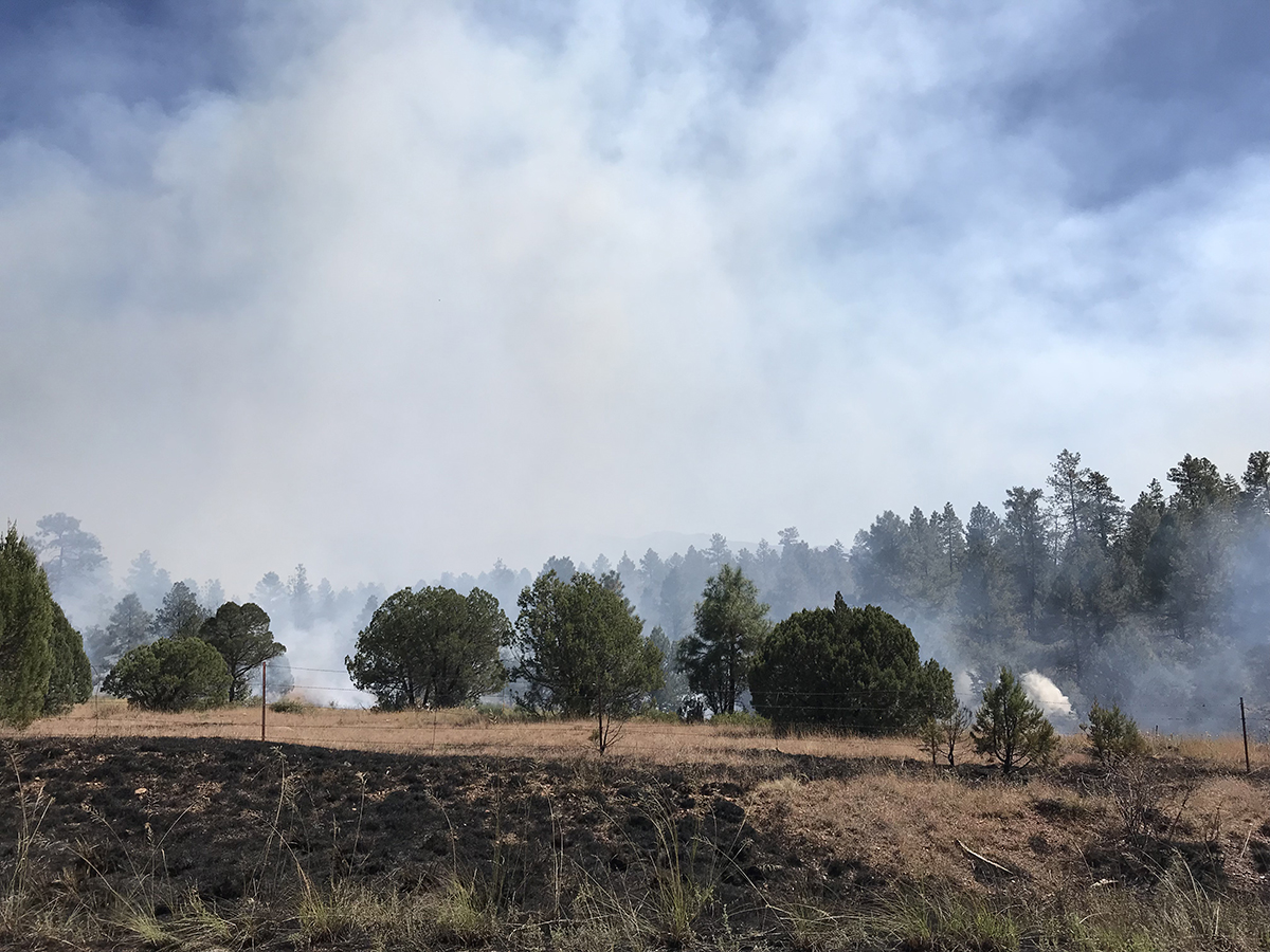
So today was our turn. Big prescribed burn along Walker Road today.
Here’s the official map:
Ruins RX: First entry burn, 212 acres located 4 miles east of Prescott and along county road 57. Vegetation consists of masticated brush with pockets of Ponderosa pine. Estimated time for completion is 2 days. Night time smoke impacts will occur to Walker RD, HWY 69, City of Prescott, and Prescott Valley.
Read the entire article at: https://www.fs.usda.gov/detail/prescott/news-events/?cid=FSEPRD560535

Leave A Comment