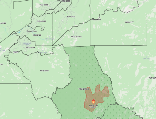
Using the MODIS C6 KML file and Google Earth, I created this movie to illustrate the movement of the fire.
KML file is available here:
https://earthdata.nasa.gov/earth-observation-data/near-real-time/firms/active-fire-data
The time starts before the fire starts and ends at 2:00pm Tuesday afternoon (today).
This is looking south. Walker is at the bottom. The little red dot is Walker Fire Department.
Mayer is to the left. Pine Flat, where the fire starts is to the right.


Thank you…this is a fine service you provide here and now.